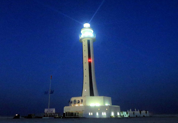
President Duterte greets Chinese ambassador Zhao Jianhua in a reception of the Diplomatic Corps during the inaugural ceremony on June 30,2016
The sober position that the Duterte administration is taking in connection with the impending decision of the United Nations Arbitral Court on the case filed by the Philippines against China is a reversal of the “Shame China” strategy that the Aquino administration undertook.
It is also a departure from cinematic solution that then candidate Rodrigo Duterte regaled his supporters during campaign rallies:
“I will ask the Navy to bring me to the nearest point in South China Sea that is tolerable to them and I will ride a jet ski. I’ll carry a flag and when I reach Spratlys, I will erect the Filipino flag. I will tell them, suntukan o barilan.”
Now carrying the mantle of the presidency, Duterte was a voice of moderation during the cabinet discussion aired live on TV on how they would handle the July 12 U.N. Court decision.
He described it as “cliffhanger” or full of suspense.
Apparently briefed on the good chances of the Philippines and China’s position that it will not recognize the U.N. court decision, Duterte said while “ it would be a moral victory” he doesn’t want to put the country “in an awkward position.”
“As for me, I do not want it (violence). God knows, I really do not want any fighting with anybody. If we can have peace by just talking, I will be really very happy,” he said.
He set the guideline: “We don’t really taunt or flaunt it.”
Dutere is showing better understanding of the Chinese than his predecessor, who even compared China’s action in South China Sea to Nazi Germany’s annexation of the Sudetenland in Czechoslovakia before the outbreak of World War II.
Betraying ignorance of Chinese culture, former President Aquino and his foreign secretary Albert del Rosario made up for the country’s weak military position with strong, sometimes inflammatory, statements against China to generate domestic and international support.
“Words are our only weapon,” said one diplomat noting that the Chinese is particular about “not losing face.”
Del Rosario accused the then Chinese Ambassador Ma Keqing of engaging in “duplicity” during the initial negotiations on the arrest of Chinese fishermen in Scarborough Shoal on April 10, 2012.
Aquino and Del Rosario’s strategy, however, backfired because China took a more aggressive position sending more vessels, as many as 90, to Scarborough shoal overwhelming the Philippines’ three vessels during a three-month standoff.
Philippine government ships have withdrawn from the shoal, 124 nautical miles from the north western province of Zambales, leaving China in control of the area with its three ships permanently stationed there.
This prompted the Philippines to go to the U.N. Arbitral Court in January 2013.
In its complaint the Philippines asked the U.N. court to declare as illegal China’s all-encompassing nine-dash line map.
It also asked the U.N. court to declare as part of Philippine 350 nautical mile continental shelf low tide elevations (rocks or shoals that are seen only during low tide) where China has built permanent structures.
It further asked the Court to declare that the waters outside the 12 nautical miles surrounding the Panatag Island (Scarborough shoal) should be declared as part of the Philippines 200 nautical mile Exclusive Economic Zone.
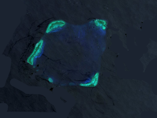
China’s response to the Philippine’s U.N. suit was massive reclamations in the Spratlys in South China Sea, being contested by, aside from China and the Philippines, Brunei, Malaysia, Vietnam and Taiwan, turning rocks into artificial islands that now host military installations including airports.
In the past four years, Filipino fishermen have been prevented from going to Scarborough shoal, their traditional fishing ground, by the Chinese ships. After the election of Duterte last May 9, however, Filipino fishermen have been allowed access to the shoal. This was seen as China’s goodwill gesture to Duterte, who has said he will engage in a bilateral talk with China, another departure from Aquino’s insistence of multilateral talks only with China.
Foreign Secretary Perfecto Yasay, Jr.. reported during the cabinet meeting that there are other foreign governments- those concerned about freedom of navigation in the South China Sea, who urging the Philippines to make stronger statements against China. It is known that the United States together with Japan put prime importance on freedom of navigation in the South China Sea where some $5.3 trillion worth of trade pass yearly.
But he said, “I am averse to that idea and I told them in no unmistakable terms.”
Yasay asked the question that is asked in all forums on South China Sea: “What will happen if the decision is in our favor, meaning that the arbitral tribunal will make a declaration about the legality of the nine-dash-line, and will say that this is part of our economic shoal, including Scarborough Shoal. What if, in the face of these circumstances, China will dig in and put us to a test? They will dislodge fisherman again from fishing in Scarborough Shoal.”
Duterte’s position of “We will study progressively” shows he has grasped the intricacies of foreign relations and knows it takes much more than a legal victory for a real win for the Filipino people.